游戏截图
游戏介绍
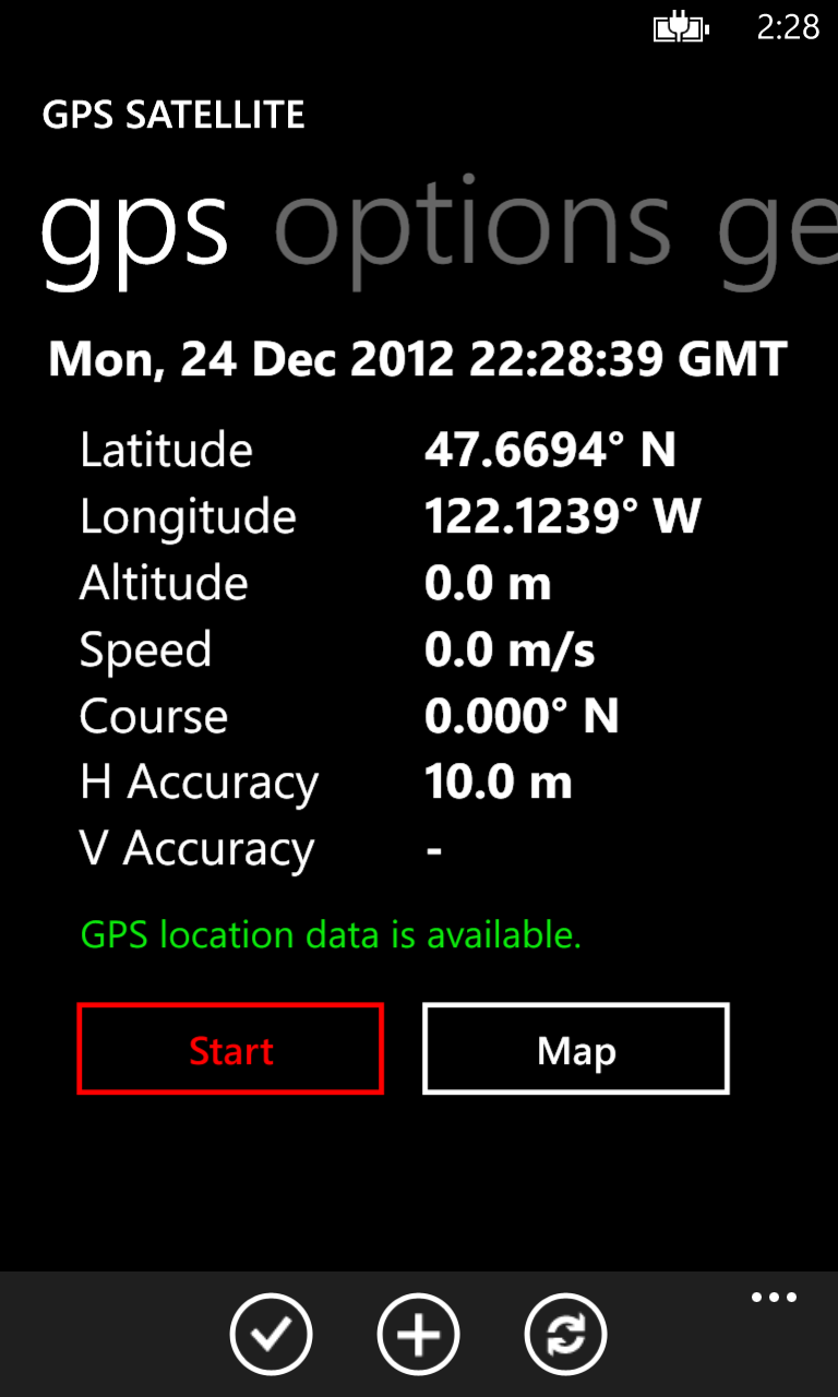
GPS Satellite provides the location and course data calculated from your phones global positioning satellite (GPS) receiver in conjunction with received orbiting global positioning satellite signals.
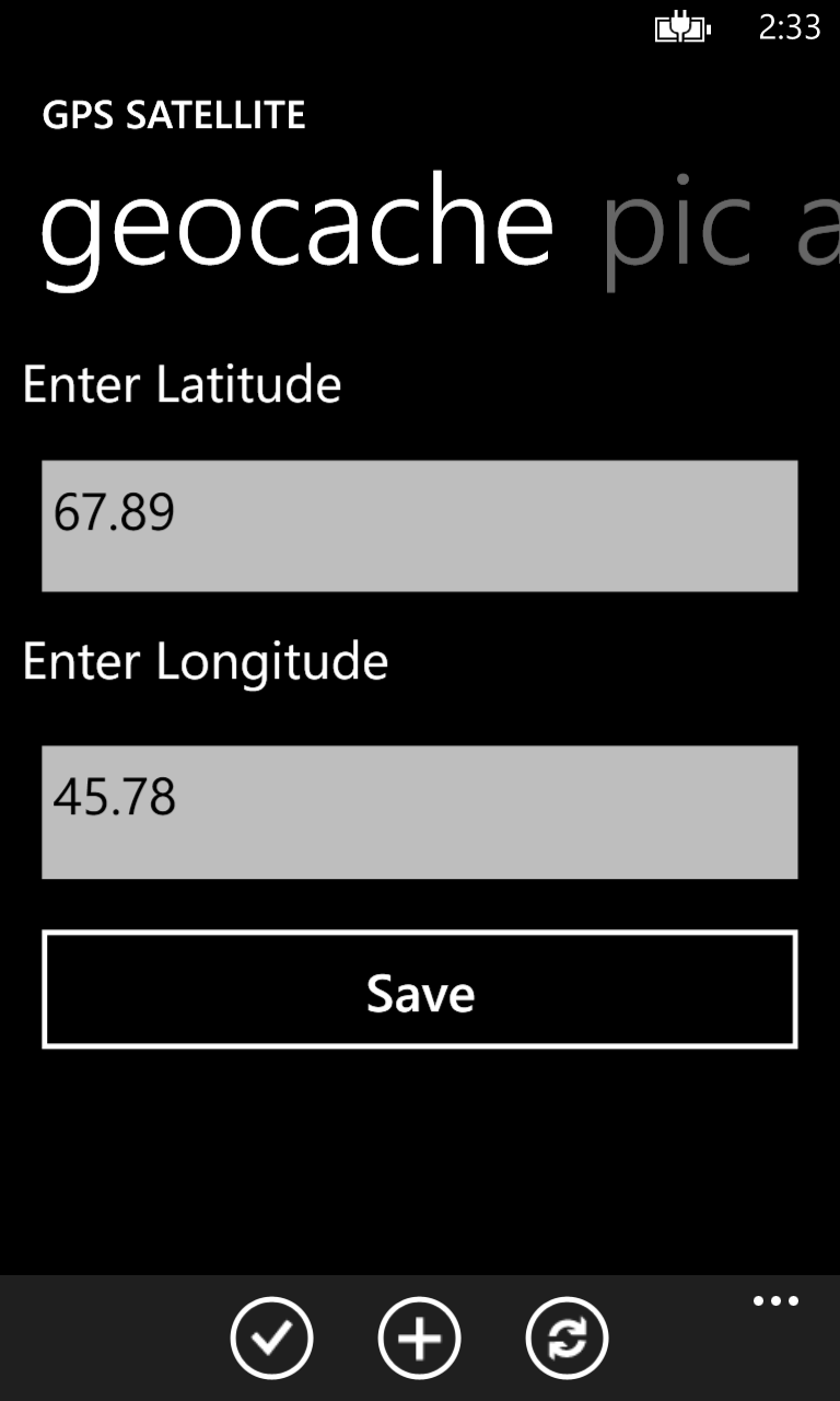
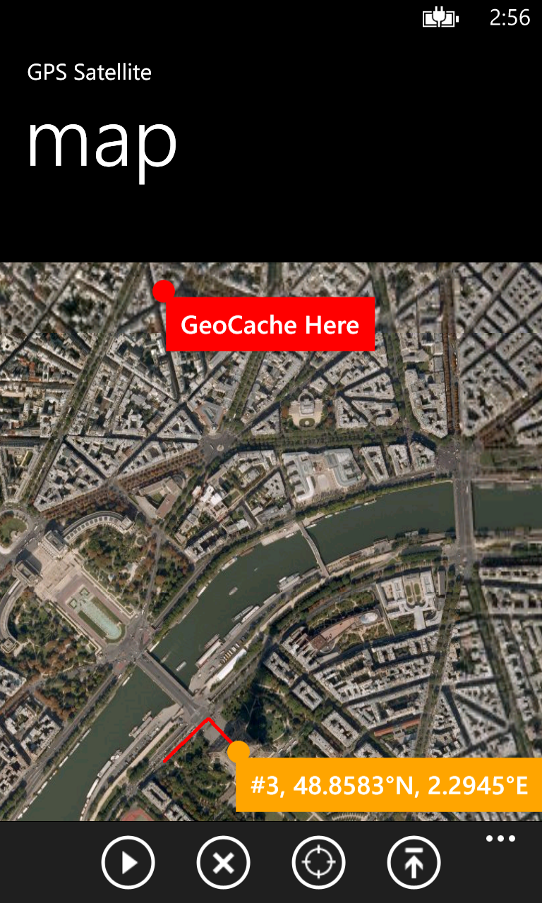
And, now, allows geocaching! Three (3) different geocaches can be displayed on the map.
Data includes:
* latitude
* longitude
* altitude
* speed
* course
* horizontal accuracy
* vertical accuracy
* date and time
* 3 geocache sites
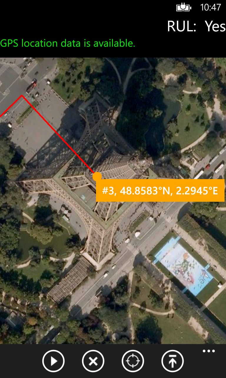
GPS Satellite also maps your location and path taken as you travel.
And, GPS Satellite allows you send the location (Bing map link, latitude, longitude, and image) and tracking information to the following:
* SMS
* email
* post to your favorite social network
* clipboard to paste into other applications
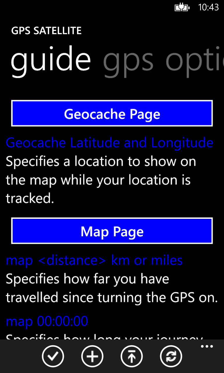
View the nice guide page explaining all features!
Coordinates can be displayed with:
* decimal degrees
* decimal degrees with direction
* degrees and minutes
* degrees, minutes, and seconds
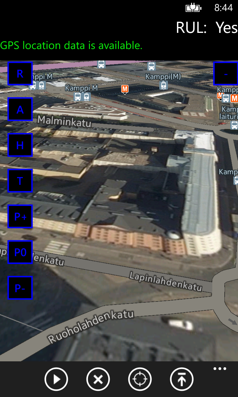
Mapping allows you the following views:
* road
* aerial
* hybrid
* terrain
* pitch control
* pedestrian and landmark features
Speeds can be displayed with the following formats:
* miles per second
* miles per hour
* kilometers per hour
* knots
* feet per second
Latitude and longitude can also be displayed in a LARGE nicely formatted screen!
Tasks commonly performed can be initiated on the tasks page.
Check it out and have fun tracking!



用户评论